Interactive Maps
Live Earth and space-weather maps, 3D explorers and 360° worlds. Every one runs right here on SpaceWeatherTracker, free to use.
 LIVE MAP
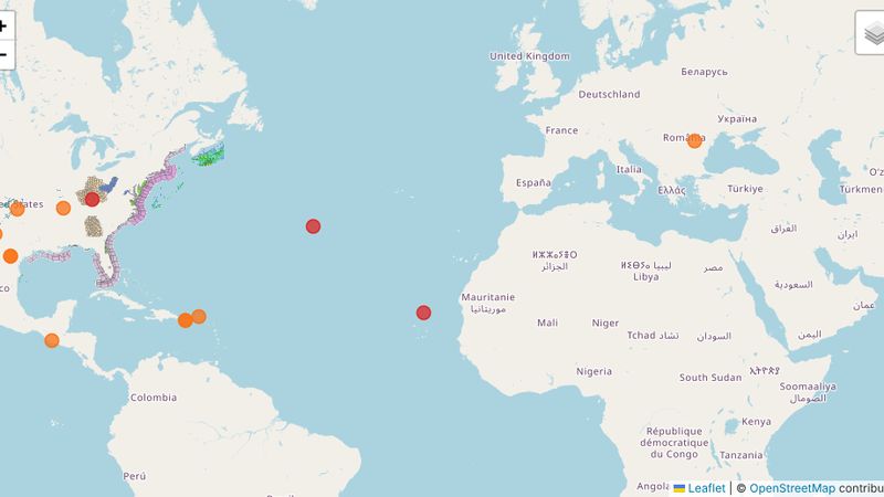
Live Earth Map
Weather radar, severe warnings, earthquakes, hurricanes and tsunami alerts on one map.
Open Live Earth Map →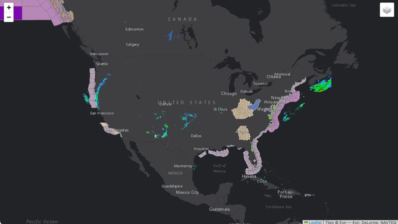 LIVE MAP
Weather Radar Map
Full-screen live radar and severe weather alerts for any location.
Open Radar Map →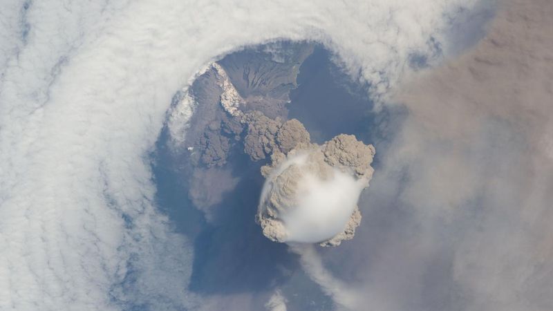 LIVE MAP
Earthquakes, Volcanoes, Wildfires & Tsunami
Live global Earth events from USGS, NASA EONET and NOAA.
Open Earth Events →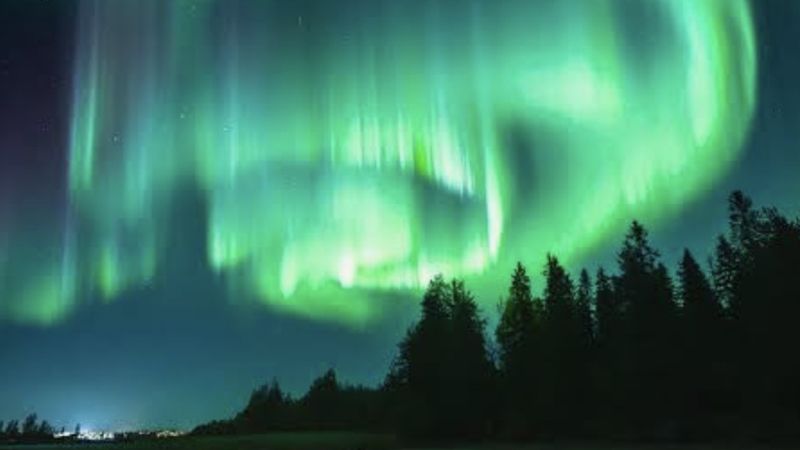 LIVE MAP
Aurora Visibility Map
Find where the Northern Lights are visible tonight.
Open Aurora Map →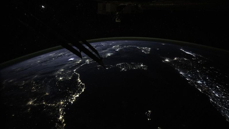 LIVE MAP
Dark Sky & Light Pollution Map
Find dark skies near you with Bortle class estimates and aurora viewing suitability.
Open Dark Sky Map →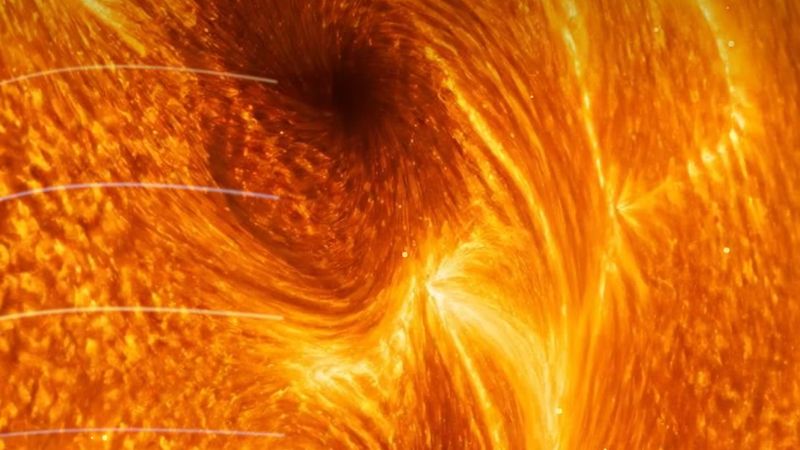 LIVE MAP
Multi-Wavelength Solar Explorer
View the Sun in ultraviolet and magnetic wavelengths from NASA SDO, with side-by-side comparison and zoom.
Open Sun Explorer →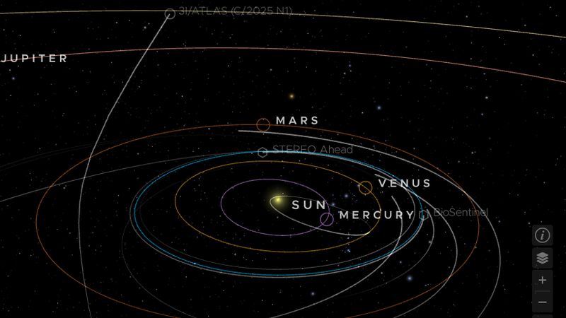 3D
Solar System Explorer (NASA Eyes)
Fly around the Sun, planets, moons, asteroids, comets and spacecraft in a live 3D model.
Explore in 3D →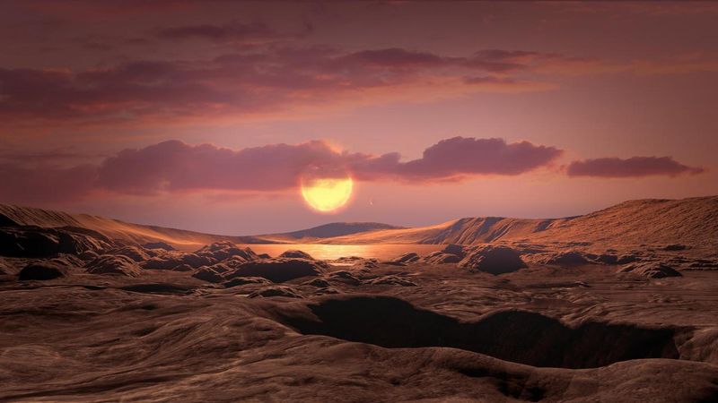 3D
Exoplanet Explorer (NASA Eyes)
Travel beyond the Solar System to stars and the planets discovered around them.
Explore in 3D →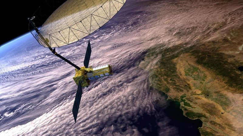 3D
Earth Satellites Explorer (NASA Eyes)
See where Earth-observing satellites are right now and where they are heading.
Explore in 3D →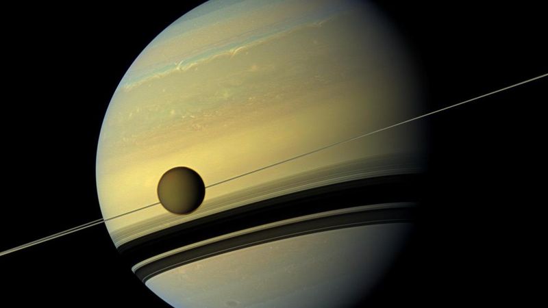 3D
Titan Planetary Monitor
An interactive 3D globe of Saturn's largest moon. Drag to rotate and click markers for real Titan landmarks.
Explore Titan in 3D →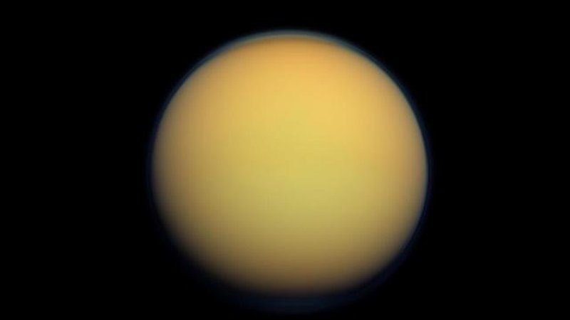 360°
Welcome to Titan
Saturn's largest moon — a world of methane rivers, lakes and rain.
Explore in 360° →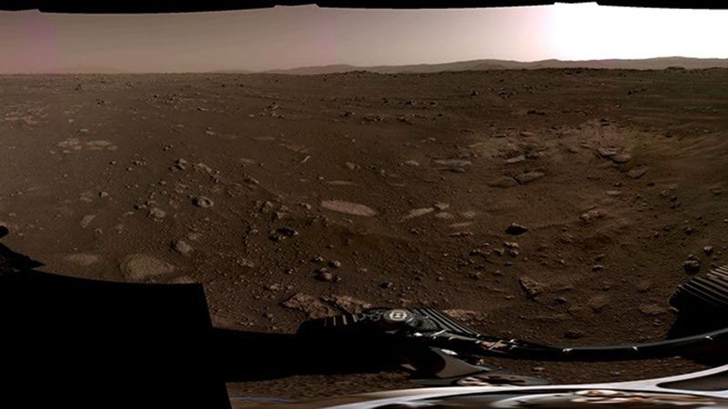 360°
Mars: Jezero Crater
Stand at NASA's Perseverance rover landing site inside Jezero Crater, in a 360° panorama from the rover's Navigation Cameras.
Explore in 360° →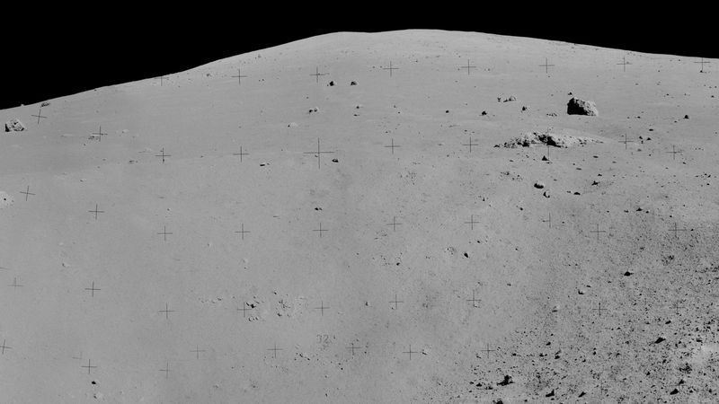 360°
Moon: Apollo 17 Taurus-Littrow
Stand on the lunar surface at Taurus-Littrow with Apollo 17 — humanity's final crewed Apollo lunar landing in December 1972.
Explore in 360° →Data: NOAA Space Weather Prediction Center, NASA (SDO, DONKI, EONET, Eyes), NOAA/NWS, USGS. Card pictures: NASA/JPL-Caltech and NASA/ISS imagery, and screenshots of our own maps (map data © OpenStreetMap contributors, Esri). The 3D explorers show positions computed from mission data, not live camera imagery.