Advanced Baseline Imager: GOES-R's Primary Instrument
Source: NOAA — NASA Goddard Multimedia · Original source
NASA Goddard overview of the Advanced Baseline Imager (ABI), the primary instrument on NOAA's GOES-R series satellites for scanning Earth's weather, oceans, and environment.
#GOES#Advanced Baseline Imager#weather satellite instrument
More in Earthquakes & Volcanoes
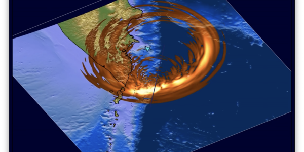 0:36
M 8.8 Kamchatka Peninsula Earthquake ShakeMovie
A USGS ShakeMovie animation showing seismic waves radiating outward from the magnitude 8.8 Kamchatka Peninsula earthquake of July 2025.
Watch
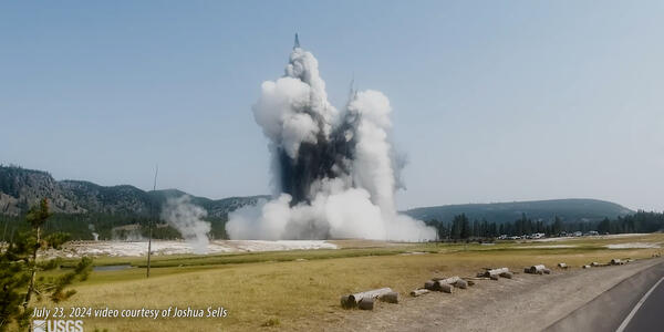 2:57
Hydrothermal Explosion in Yellowstone's Biscuit Basin
USGS footage and explanation of the July 23, 2024 hydrothermal explosion at Black Diamond Pool in Yellowstone's Biscuit Basin.
Watch

NOAA Celebrates 50 Years of GOES Satellites
A retrospective marking 50 years of NOAA's Geostationary Operational Environmental Satellite (GOES) program and its partnership with NASA.
Watch