🌋 Earthquakes & Volcanoes
Real USGS footage and science on earthquakes, volcanic eruptions, and the monitoring technology that tracks them.
8 videos in this category
Featured
All videos in this category
 0:36
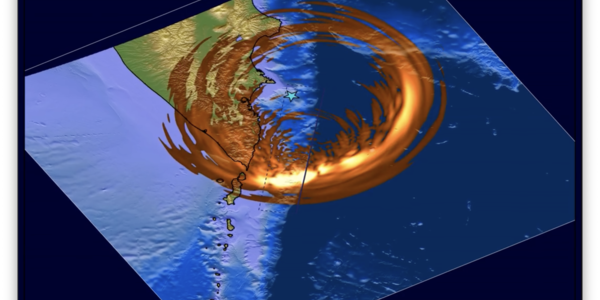
M 8.8 Kamchatka Peninsula Earthquake ShakeMovie
A USGS ShakeMovie animation showing seismic waves radiating outward from the magnitude 8.8 Kamchatka Peninsula earthquake of July 2025.
 2:57
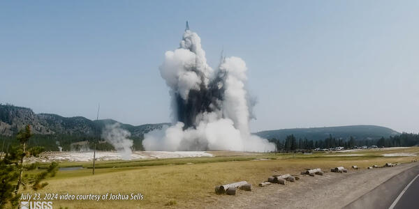
Hydrothermal Explosion in Yellowstone's Biscuit Basin
USGS footage and explanation of the July 23, 2024 hydrothermal explosion at Black Diamond Pool in Yellowstone's Biscuit Basin.
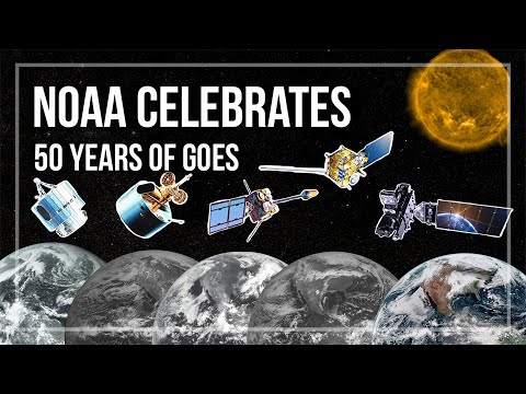
NOAA Celebrates 50 Years of GOES Satellites
A retrospective marking 50 years of NOAA's Geostationary Operational Environmental Satellite (GOES) program and its partnership with NASA.
 3:24
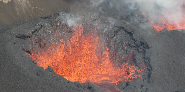
January 17, 2025 -- Kilauea Summit Eruption
USGS Hawaiian Volcano Observatory footage of lava fountaining and a rare wind vortex during the Kilauea summit eruption.
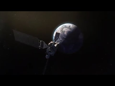
GOES-T Mission Overview
NOAA overview of the GOES-T satellite (renamed GOES-18 on orbit), the third in the GOES-R Series providing weather-observing coverage for the U.S. West Coast, Alaska, Hawaii, and the Pacific.
GOES-T Wildfire Detection and Monitoring
NOAA overview of how the GOES-T (now GOES-18) satellite locates wildfire hot spots, tracks fire behavior, and monitors smoke and air quality effects.
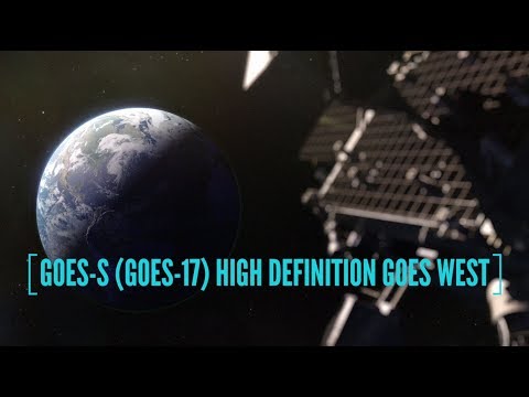
NOAA GOES-S (GOES-17): High Definition GOES West
NOAA overview of the GOES-S satellite (renamed GOES-17), which paired with GOES-16 to provide constant weather-monitoring coverage across the Western Hemisphere.
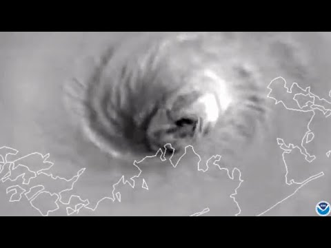
Advanced Baseline Imager: GOES-R's Primary Instrument
NASA Goddard overview of the Advanced Baseline Imager (ABI), the primary instrument on NOAA's GOES-R series satellites for scanning Earth's weather, oceans, and environment.